Despite our name, we don’t actually lead bike tours. That was an idea that came and went (very quickly). We’re always happy to suggest places to ride and one of our favorites in this area is the Lake Okeechobee Scenic Trail (LOST).
Way back in August, Dave Fletcher, AKA SwampStomperus, contacted my foodie friend Jan Norris about riding the LOST. She passed him off to me and we traded emails until the first part of November when he said he was putting together a gaggle of riders to finally do the ride.
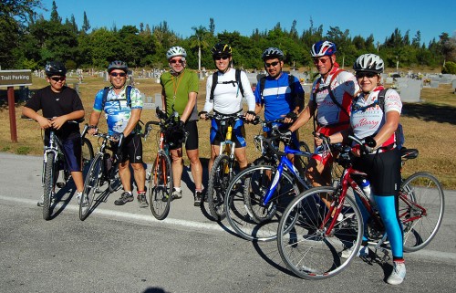
It happened to be the same weekend of the FORCE ride. Both groups were starting in the Clewiston area at about the same time, but the FORCE riders were riding clockwise and Dave’s folks were going counterclockwise.
He promised an account of his ride and some pictures. Here it is.
A group of South Floridians had their first go at the LOST on the weekend of Nov 14-15. Thanks to Ken and his great LOST maps, we finally were able to undertake an adventure that at least one or two of us had only dreamed about for several years.
Unofficial Map of Lake Okeechobee Scenic Trail
View Lake Okeechobee Scenic Trail in a larger map
All ages and experience
With the best support crew you could ask for (Peggy and Carol) we 7 riders set off from John Stretch Park for an unknown, but sure to be excellent, adventure. Dave, Leo, Linda, Patrick, Edwin, Jerry and Yenz, aged 13 to 59…some with years of experience and miles under our belt…and one with a brand new bike and little experience at all.
Drivers surprised these Broward riders
We were a combination of road bikes and mountain bikes—so we knew there would be some road riding ahead but our first surprise came just to the east of the park when we saw the “closed” sign on the LOST. What to do? We decided to forge ahead, hoping that we could at least get by. In fact, we made it as far as Torry Island without a hitch. Then came the road biking to get around levee maintenance. Thank God for iPhones to help us navigate the roads. As for the roads themselves, we were pleasantly surprised. We are from Ft. Lauderdale/Hollywood where a road ride is equivalent to a death wish. But we found roads with wide shoulders, smooth surfaces and drivers who actually slowed down or made a significant effort to move over and give our riders a wide berth—what a very refreshing experience!
Our first casualty (so-called) came when our youngest (and newest participant) decided to call it a day. But hey—he made it 19 miles on a trail bike—which certainly would give him bragging rights over any other 13 year old that I know. We were proud of him for having made it that far—and he was good company for our support team too!
Lunch at the Subway
In the meantime, our support team found us lunch at the Subway in Pahokee and it made for a great mid ride break.
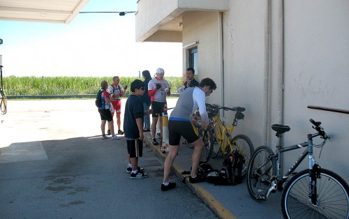 [Editor’s note: I’m pretty sure that Subway is actually in Canal Point, which is north of Pahokee. I stopped at the same place on Sunday. The food is OK and the bathrooms are clean.]
We set off again after lunch, resisting so many temptations to stop at the numerous yard sales in Pahokee—what a dream. We continued along the road—again amazed at the courtesy of the local drivers—and inhaling the sweet smell of burning cane—tis the season!
Headwinds take their toll
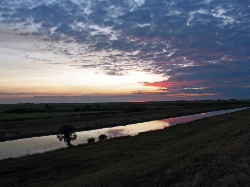
Attrition hit us again just before Port Mayaca and again at Port Mayaca as our two other trail bikers decided they had done enough for the day. Again, not bad at all, considering they had been riding into a headwind for most of the day. We could all feel the stress and a nice break in Port Mayaca helped refresh us for the final stretch. Now we were back on the paved levee and inspired by the beautiful views of the lake. Down to only four now, we set off again, determined to make Okeechobee in time for a relaxing dinner and the comfort of our hotel.
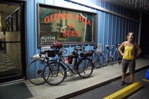
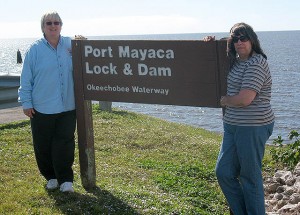 It seemed that the wind was picking up as the day went on. The last stretch was a bit of a challenge and we dropped another rider at Henry Lock. As usual, our support team was ready to move into action and they were soon there to take him away. Now we were down to three—all determined to make the finish. We finally did pull into the Okeechobee pier a bit before 5 pm. A short ride up to the Holiday Inn and we were done. Our terrific support crew had us already checked in and had our gear in our rooms. They took care of everything (except the massage!). They had already decided on a dinner location so, after cleanup and a short rest, we were off to The Clock, where, again, these south Floridians were amazed—this time by the low cost of dining out! We’ll certainly be back to Okeechobee.
Food and lodging are reasonable in Okeechobee
That evening found a few of us relaxing in the hot tub while others were off to dream land shortly after dinner. The next morning, over a terrific complimentary full breakfast at the Holiday Inn, we discussed alternatives for the day. We knew the mountain bikers wouldn’t make the whole day again. We also knew that the first half of the ride would be on the road, where the lake wasn’t visible and the second half would be on the levee where we would experience more of the natural environment. So, instead of riding the first half from Okeechobee to Moore Haven on the road and then sagging, they decided to have a relaxing morning at the hotel and meet us in Moore Haven for lunch.
Moore Haven bridge is quite a climb
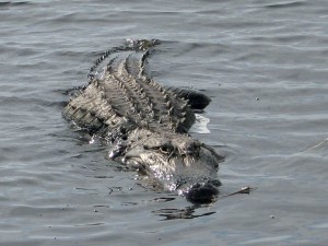
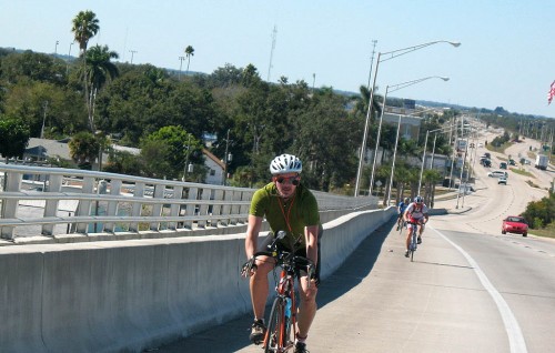 With that decision made, three of us set out along 78. For all of us it was the first time we’d ever been on that road. What an experience. It seemed to be what old Florida must have been like: very quiet, little traffic (but again—very courteous drivers) and some nice landscape scenery. We did take a nice break at Lake Port (home of the Sour Orange Festival) and checked out the observation platforms off Harney Pond Road—taking in the silence and the beauty of the vast wetland there. We also delighted in seeing several ospreys along the way, including two with fish in their talons and several other species of wildlife. Truly this was a remarkable stretch of road and I look forward to returning there some day.
A suprise meeting with the FORCE group
Once in Moore Haven we rendezvoused with our support team and the sagged riders. After a short lunch we set off toward Clewiston, riding the levee, happy to be a team of 7 riders once again. The wind was now a bit behind us and we made fairly good time. We had quite a surprise awaiting us in Clewiston when we actually ran into Ken, owner of this website and whose generous guidance provided us with the information we needed to do the ride in the first place. We were glad to be able to thank him in person.
Ready to do it again
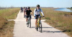 An hour or so later (and down one rider—our 13 year old made it 20+ miles on the second day) we were greeted by our support team as we pulled into John Stretch Park. It was a great weekend—perfect weather, a perfect route, a perfect support team and a perfect group of riders (and friends.) We all left with the resolve to do the LOST again—soon.

