Surly LHT Gets Shakedown on Unpaved Lake Okeechobee

Wimp Alert: you off-road folks are going to sneer at me.

I took my Surly Long Haul Trucker on an 8.34-mile shakedown ride last weekend with the Florida Off-Road Cycling Enthusiasts when they rode around Lake Okeechobee. I wrote about their experiences earlier. I shot a video before the ride where Tom Rassiga of the Bicyclery gave some good advice about bicycle selection.

8.34 Miles of bone shaking

Map of my short ride


View Lakeport-Indian Prairie on LOST in a larger map

I’ve ridden the paved portions of the Lake Okeechobee Scenic Trail plenty of times, but I had never ventured onto the unpaved western side before. And, while my Surly Long Haul Trucker has seen some short stretches of gravel and shell rock, it had never had any long rides off pavement.

Lynne Daniels is second from left
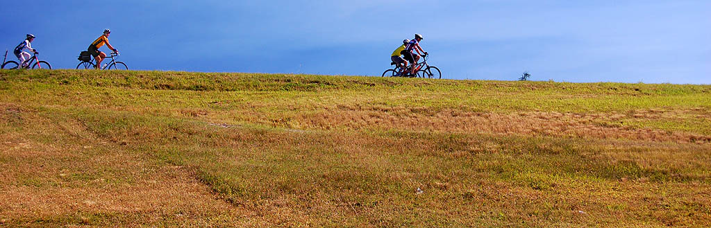
Lynne Daniels, FORCE president, second from left on LOST

Lynne Daniels, president of the Florida Off-Road Cycling Enthusiasts (FORCE) and a rider of a stripped-down Long Haul Trucker reduced her tire pressure. When I squeezed her tire, it was substantially more “squishy” than mine.

(The next morning, Lynn checked her front tire and said it was about 30 or 35 p.s.i.).

I opted to leave my tires slightly firmer

I dropped my tire pressure in my 26″x1.5″ tires to 45 or 50 p.s.i..

  • My bike and I are heavier than Lynne, and I was afraid I might get snakebite punctures if I let out too much air.  I didn’t relish having to change a flat in the middle of nowhere while perched on a fire ant mound.
  • My game plan was to park my van in Lakeport, ride the dike, then drop back onto 78 to ride the pavement back to my vehicle. I wanted to make maximum speed with minimum effort without pumping my tires back up so I could catch up with the main group at the next stop.

Battle plan didn’t survive the first bullet

I had envisioned some nifty camera angles with the video camera held at arms-length close to the ground so I could show the road surface from the moving bike.

That thought lasted about five feet.

This isn’t a nice, smooth shell rock track broken up with an occasional rut or washouts. There are sizable (and sometimes pointy) rocks that are firmly embedded in the marl dike top. I tried to apply the Cowpie Rule (don’t look at the cowpie, look at the spaces BETWEEN the cowpies when you’re maneuvering through the pasture), but there were too many rocks/cowpies to dodge all of them.

AirZound was the first casualty
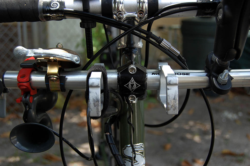
Second Stem on Surly Long Haul trucker, showing AirZound horn at leftThe first casualty (after my dignity) was the Delta Airzound Bike Horn mounted on my second stem. It bounced out of its plastic mount in the first few hundred yards. No big deal, I just took a wrap of the air hose and secured it to the bars.

The jolting was hard enough that you may be able to hear my bell ringing from time to time on the video.

Other than that, though, the Surly stayed in one piece.

Finally, some smooth trail

We hit a section where the jolting was almost tolerable because it was covered with grass. Some of the other riders said we were lucky this year because it was cut fairly short. In other years, it’s had a Field of Dreams cornfield feeling.

My love of grass lasted about a tenth of a mile.

Tire manufacturer Schwalbe comfirms grass is hard

Schwalbe just did an interesting report on the effects of tire pressure and tire width on different riding conditions.

  • It confirms that Lynne did the right thing by dropping her tire pressure drastically lower than mine.
  • It also points out that riding through grass has six times the resistance of riding on pavement.

Would I ride the unpaved portion of the LOST again?
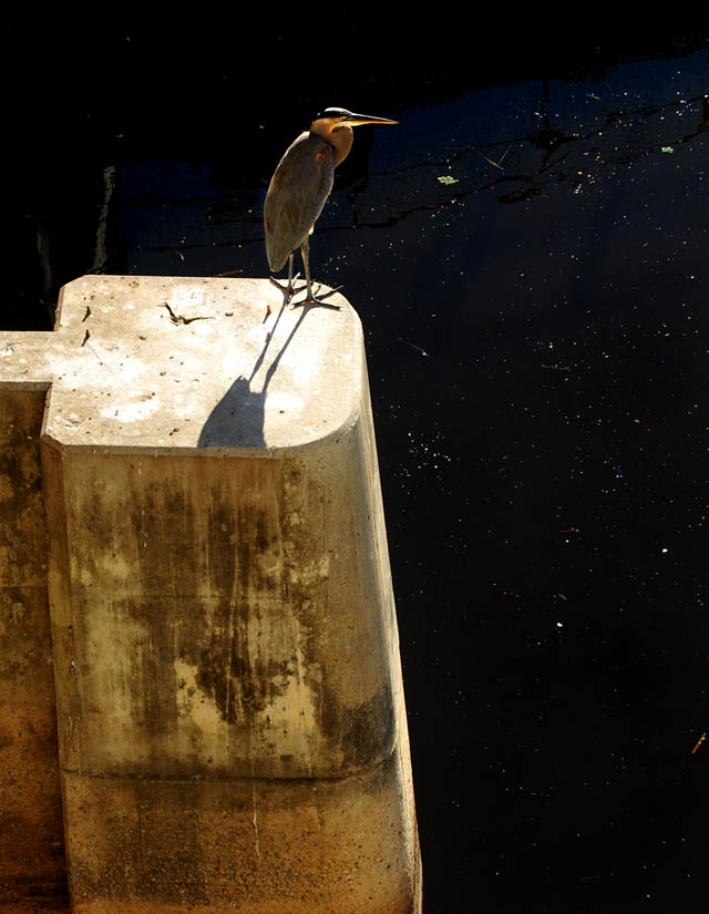
Bird at Nubbins SloughProbably not.

Non-riders consider all bike riders to be masochists, but there is a limit to how masochistic I am.

One of the reasons I like to ride the LOST is to see the scenery and wildlife. When you’re concentrating on dodging cowpies, then it’s tough to see birds, gators and neat stuff.

When Wife Lila and I were dating, we’d go horseback riding from time to time. I always felt guilt about having some sweaty horse haul me up a hill. I had the same guilt feelings about the pain I was inflicting on my poor LHT. I felt like I should pick it up and carry it to keep it from bruising its tender tires.

I hate cell phones (watch video)

Actually, that’s not completely true. I hate cell phones that ring while I’m riding.

Sure, I COULD turn it off, but lifetime of being on call makes that hard to do. Besides, in might be an important call, like “The Publisher’s Clearing House van just pulled up in front of the house….”

When Son Matt was about two years old, Wife Lila pulled me aside when I got home. “You’re going to have to change the way you answer the phone.”

“???”

“Matt was playing with his toy phone today. It rang, he answered it by saying, “Oh, BLEEP! Hello.”

Some habits are hard to break.

Friends don’t call friends who are riding.

I LOVE pavement

When I got back on 78 to retrieve my car, my LHT cruised effortlessly at 18 mph, with nary a jolt, rattle or ding. It was great.
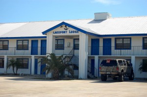
Lakeport Lodge near the Lake Okeechobee Scenic TrailBy the way, the woman at the Lakeport Lodge didn’t hesitate when I asked if it was OK to park in her lot for a couple of hours. The place looks pretty new. I may give it a try some night.
Lake O Adventure “Challenging”

This weekend was the 115-(more or less)-mile bike ride around Florida’s Lake Okeechobee.

Billed the Lake O Challenge by the Florida Off-Road Cycling Enthusiasts and supported by Tom Rassiga of the Bicyclery, the ride started in Clewiston, stayed overnight in Okeechobee and ended up back in Clewiston.

Here’s a video of the two-day ride

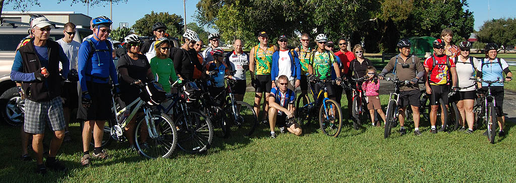
About two dozen riders took the challenge

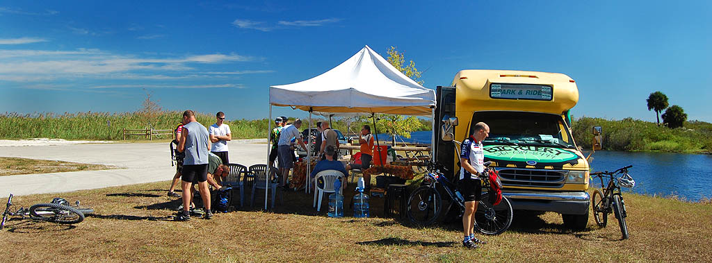
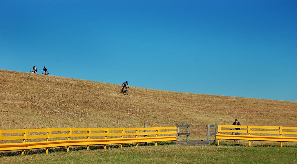
Lake Okeechobee Challenge RidersThe riders left the Corps of Engineers parking lot at Clewiston shortly after 9 AM, and made their way to the paved section of the Lake Okeechobee Scenic Trail (LOST) that leads to the Moore Haven locks where Tom Rassiga and his yellow Bicyclery bus was waiting.

Except for a slight crosswind, the trip started smoothly. One rider mentioned seeing a couple of gators along the rim canal.

Armies and cyclists travel on their stomachs

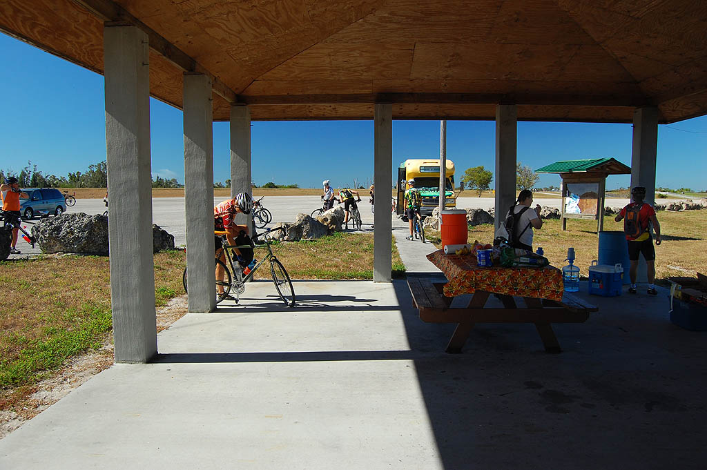
MH RestDSC_7881Even though they’d only been on the road about an hour-and-a-half, the cyclists took full advantage of the food and drinks waiting for them.

For the record, there are clean restrooms at the Moore Haven trailhead. Facilities on the LOST are few and far between (read non-existent), so it’s good to note when you find some.

Mountain bikes were recommended

Tom said that they ride would be more comfortable on a wide, low pressure tire and that it would be rideable on a touring bike like my Surly Long Haul Trucker, but that a mountain bike would be more suitable.

The video above covers some of the challenges experienced by the riders on the first unpaved leg of the ride between Moore Haven and Fisheating Creek. Not only did they have the expected rocks and grass, but the authorities had been grinding up trees and brush into mulch that drifted onto what passed for a trail.

You have to understand that a lot of these folks are members of the Florida Off-Road Cycling Enthusiasts (FORCE). What we road riders consider a barrier is merely a challenge to these folks.

I skipped the first unpaved leg

I don’t have pictures of that section because I opted to go directly to the Fisheating Creek rest stop. I learned a long time ago that I can either do an activity or I can COVER an activity. I figured I’d get a taste of the dike later. You’ll see a video of that in a couple of days after I’ve stopped vibrating. The video looks like it had been shot on the inside of a popcorn popper.

The group was glad to see the shaded rest stop

Fisheating Creek Rest stopApparently the non-native trees that used to provide shade had been cut down. Fortunately, Tom carried fold-up shade with him. Some of the riders needed his repair skills to take care of bikes that had been knocked out of adjustment by debris that had blown up on the trail.

Where are the stragglers?

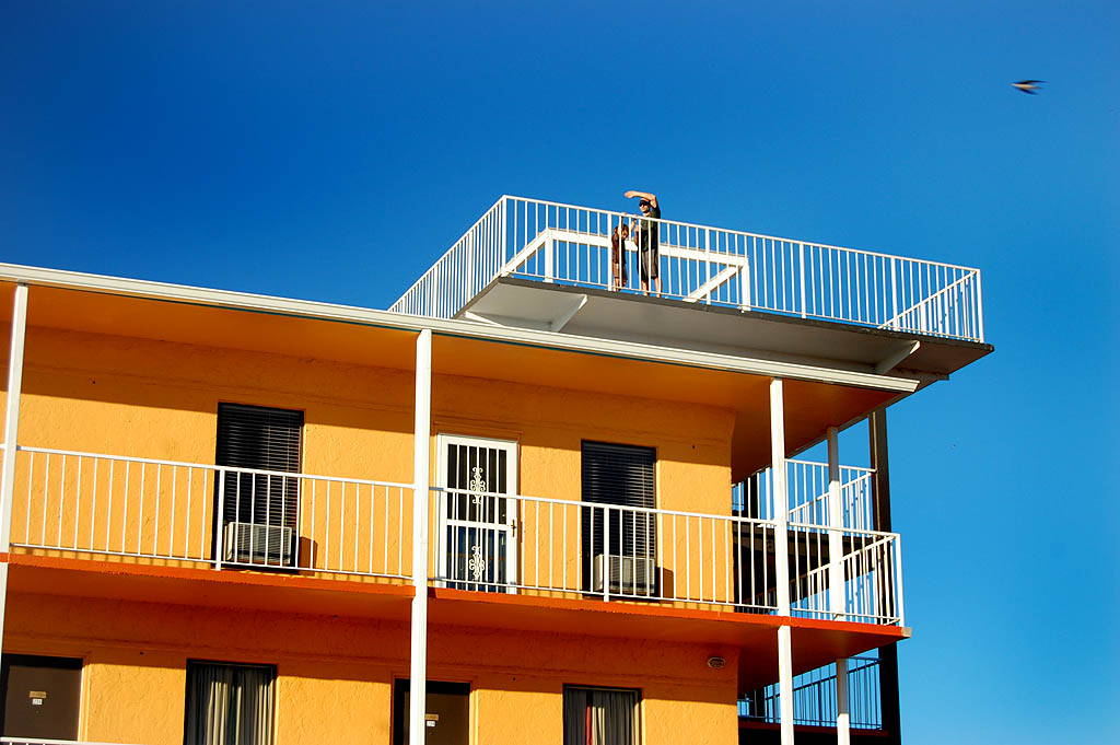
Tower DSC_7915Tom and his daughter, Kailyn, climbed the observation tower at the Pier II Resort to see if they could spot the stragglers at the end of the day. They made it in just before a search party went out to look for them.

That was something I noticed about this group of riders. Some of them had ridden together before and others were newbies like me, but everyone went out of their way to be friendly and helpful.

Time to relax before heading out to dinner

Gillis DSC_7916Most of the group stayed at the Pier II resort, but I waited too long to make reservations and it was booked solid by the time I called.

I fell back on the Scottish Inns a couple of miles away. The room was about $20 cheaper and was perfectly adequate for a biker night.

Okeechobee Golden Corral for dinner

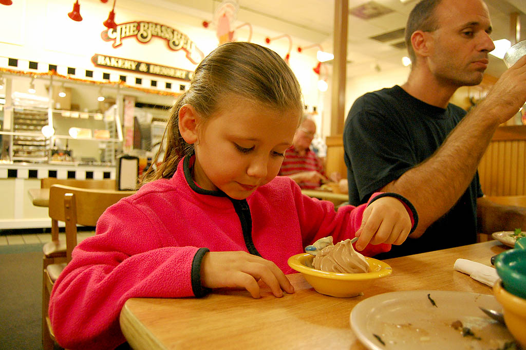
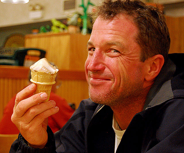
Kailyn polishes off her ice cream at Okeechobee Golden CorralAfter some discussion, the bulk of riders ended up at the Golden Corral in Okeechobee. Most of us were interested in fast food and lots of it. I’ve never had a bad experience at this particular Golden Corral, so I was less surprised than some at the quality of the food.

Chris and Kailyn were pleased with their meals

Ice Cream DSC_7948I didn’t have any problem falling asleep, and I only rode a shade over 16 miles.

One of the best things about this ride is that it doesn’t start until 9 AM.

I’ve never liked rides that expect you to roll out at 6 AM, which means you have to be up at 3 AM.

The LOST had some snags

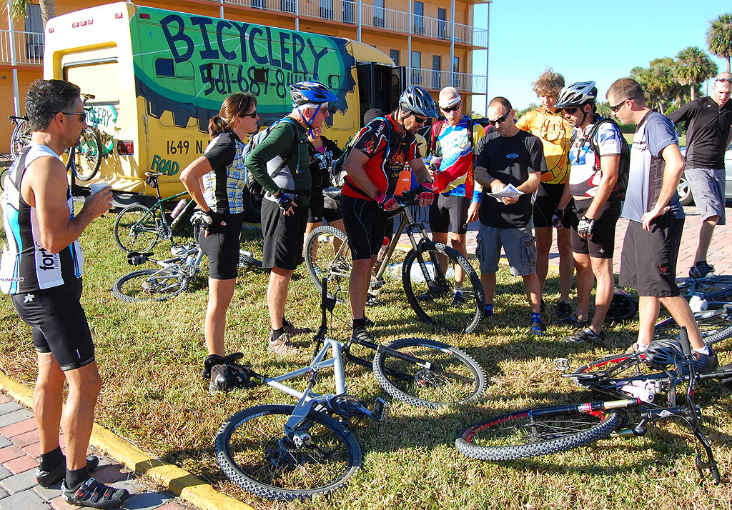
Lake Okeechobee Adventure riders go over plans for rideThe original plan called for riding from Taylor Creek to Port Mayaca on the dike, hopping on the road to Pahokee to avoid construction and then continuing on the dike to the finish in Clewiston.

Some folks who were riding the lake counterclockwise told me the night before that construction had the trail shut down north of the Torry Island trailhead, so we would have to stay on the road a few miles longer than anticipated.

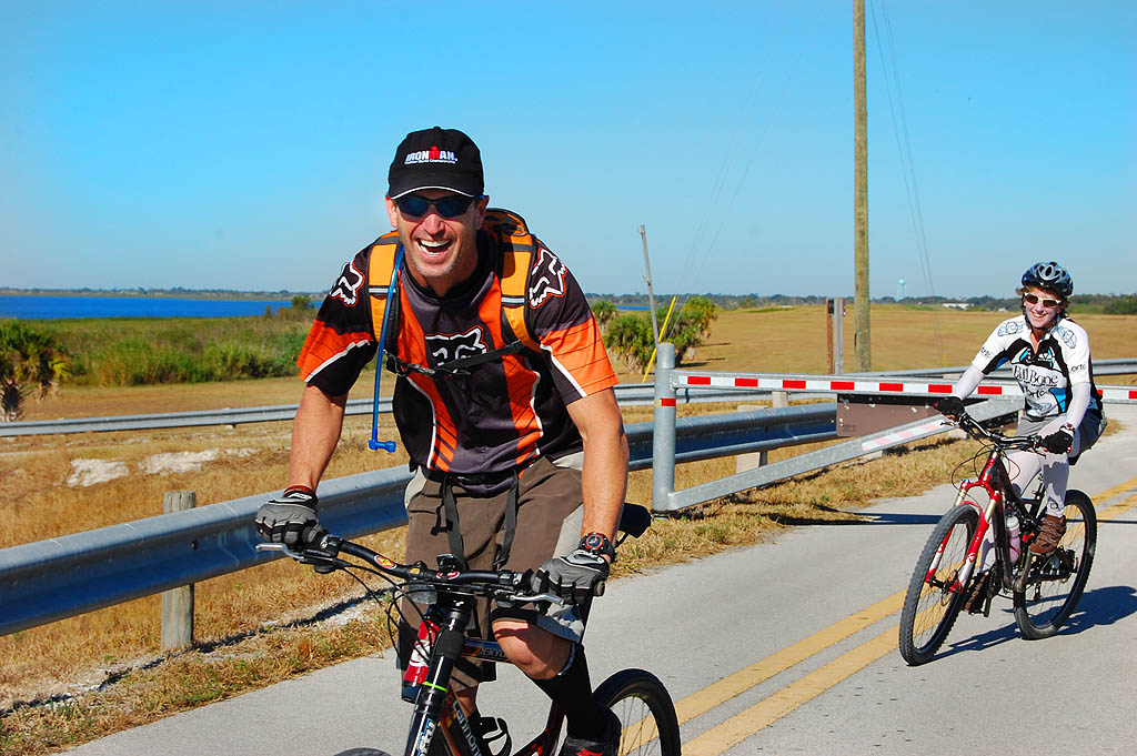
Chris and Lynn dodge gate on Lake Okeechobee Scenic Trail

No checking for gators at Nubbins Slough

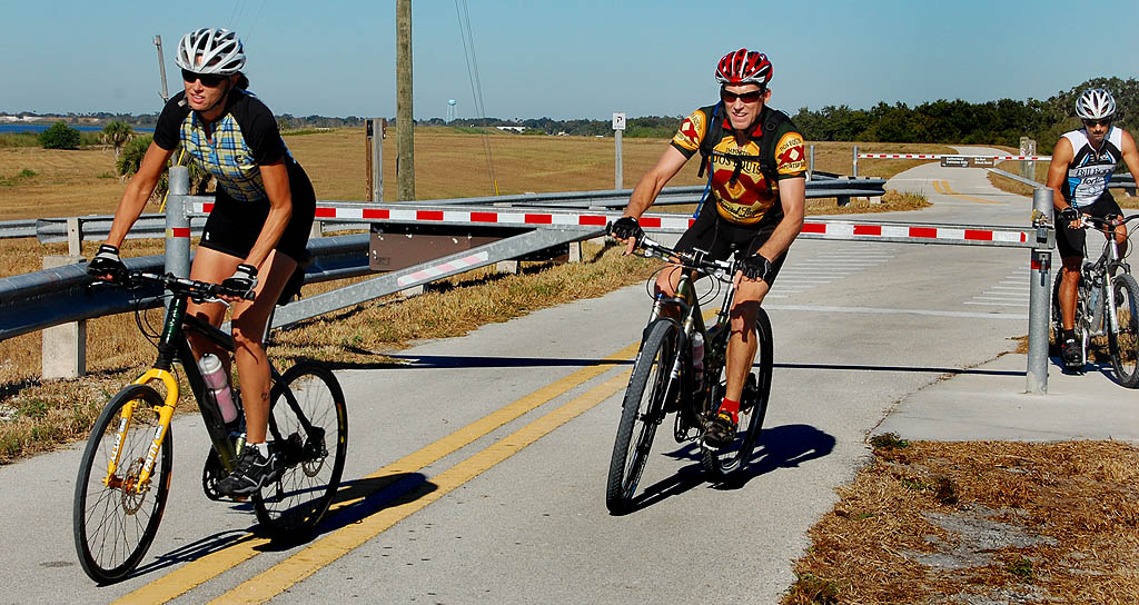
Pam, Per and Rick dodge gate on Lake Okeechobee Scenic TrailI had told the riders that one of the best places to spot big gators is at Nubbins Slough, where I had seen as many as 25, many in the 8 to 10-foot range, on some days.

I stopped to see if there were any around and saw only one hanging around. It didn’t make any difference. These folks could smell home and didn’t waste any time blasting by me.

Off-road cyclists arrive at Lake Okeechobee Scenic Trail rest stop

Rest stop at Chancy Bay

Chris takes refreshment at rest stop along Lake Okeechobee Scenic TrailTom set up the yellow bus at Chancy Bay (also known for J&S Fish Camp) and it wasn’t long until the first riders came bombing down the dike to the parking lot.

Here’s another way you can tell it’s an off-road group. They go off road every opportunity they can.

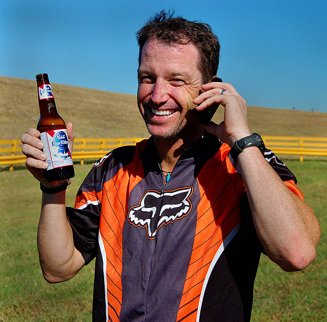
Chris, obviously, likes beer as well as he likes ice cream.

Last rest stop was at South Bay

Mike Freye passes rest stop at South Bay boat ramp on the Lake Okeechobee Scenic TrailThe last chance for riders to take on food and water before the final 16-mile run to Clewiston was at the boat ramp in South Bay.

As soon as they made the turn west at the bottom of the lake, the nice quartering tailwind they had for most of the day turned into a head wind.

Since you are perched 25 or 30 feet up in the air with nothing around you to block the wind, that can be a real killer.

Fortunately, the winds were light, probably in the 5 to 7-mph range, with gusts only slightly higher. Of course, that’s easy for me to say. I was in my van.

Then we were back in Clewiston, and it was over

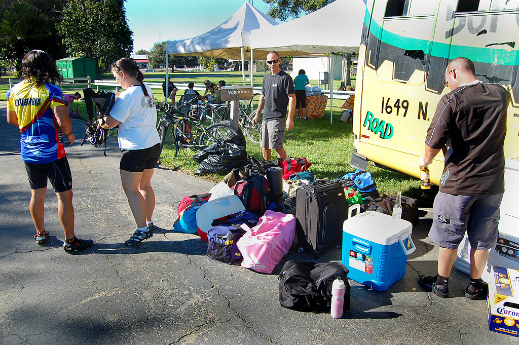
Clewiston end of Lake Okeechobee Big AdventureBefore long, everyone had their luggage sorted out, their bikes racked on their vehicles and they were sitting around, pigging out on chicken, subs, left0ver fruit and some beverages in brown bottles.

Even though everyone was ready to go home, you could tell that they wanted the experience to go on just a little bit longer.

Lynn and Pam look at pictures

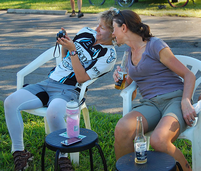
Lynn and Pam look at pictures from the Lake Okeechobee Big Adventure rideTom’s wife, Lynn, and Pam Karagoz pull out a camera and look at pictures of the ride.

Our parking lot was directly west of a cemetery where a burial service was being held several hundred yards away.

I thought back over the weekend and how much fun it had been and realized that you have to take advantage of times like these while you can.

The guys gravitate to magazine centerfolds

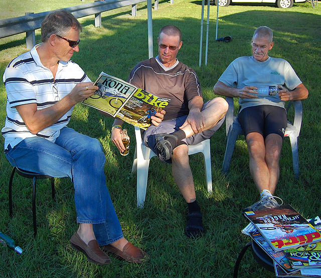
Studying bike porn after the Lake Okeechobee Big Adventure RideBoys will be boys. Per, Andrew and Chuck relaxed by ogling a magazine centerfold spread.

In a biking magazine.

I told you they were off-road cyclists.

Big “O” Set for Nov. 14-15 on the LOST

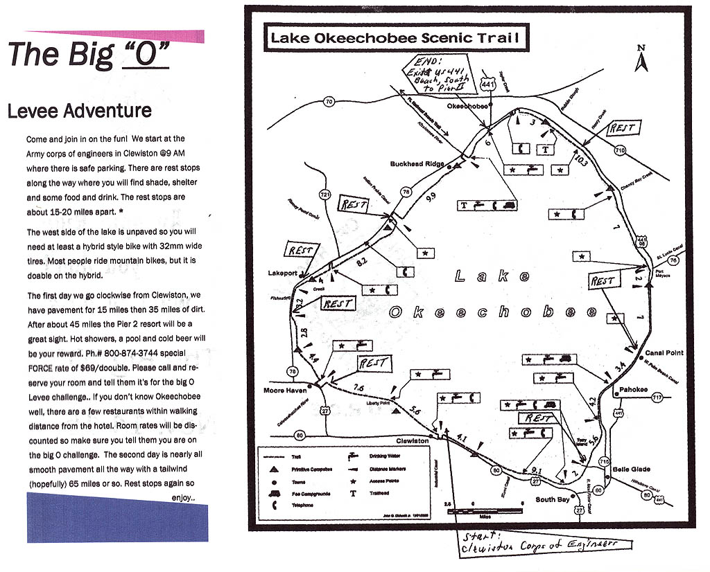
The Florida Off Road Cycling Enthusiasts – FORCE – are scheduling a Big “O” group ride around the Lake Okeechobee Scenic Trail (LOST) Saturday and Sunday, Nov. 14-15.

2009 Big O Levee Adventure

The ride will leave at 9 A.M. from the Clewiston Army Corps of Engineers on the north side of U.S. 27 as you come into Clewiston. There is safe parking there.


View The Big “O” Ride Nov. 14-14. 2009 in a larger map

The whole ride is about 115 miles, done over two days. The first day, which is on the mostly unpaved west side of Lake Okeechobee, will cover 50 miles. Sunday’s ride will be paved, with a short stretch on a roadway that has adequate shoulders.

Rest stops about every 15 to 20 miles.

The group has made arrangements for a special FORCE rate with the Pier II Resort at the north end of the lake. Call 1-800-874-3744 to reserve your $69.99 double. Mention the Big O Levee Challenge to get the price break.

Wide tires needed

The west side of the lake is unpaved, so you will need a bike with at least 32mm wide tires. If you plan to ride on a high-pressure, narrow-tired road bike, you may want to drop down off the dike onto Highway 78. It’s a low-traffic, wide-shouldered highway.

You can see that route here.

For more information, stop by the Bicyclery on Military Trail south of Okeechobee Road and ask for Tom Rassiga. OR, you can watch him on this video.

Mississippi River on the Rise

What a difference a few days – and a few inches of rain – make. A couple of days ago I was shooting pictures of a coed watching the river go by. This afternoon I rode by and the huge floodgates that protect Cape Girardeau from the Mississippi River were closed. (Click to enlarge the pictures.)

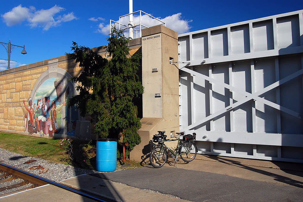
Surly Long Haul Trucker parked in front of floodgate in Cape GirardeauMassive rains throughout the Mississippi Valley have caused the Mississippi River to rise 2.6 feet in the past 24 hours and almost 18 feet since Sunday.

93-dutchtown-flood-markThe river is predicted to crest at 42.5 feet Wednesday. The record high reading on the river is 48.53 feet reached on Aug. 8, 1993, as shown by the High Water Marks on the floodwall.

Dutchtown floods at 39 feet

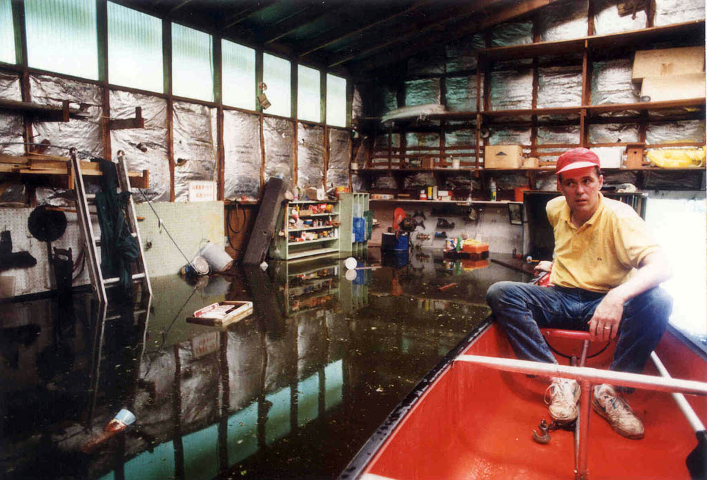
We have property in Dutchtown that goes under water when the Cape gauge is at 39 feet. Here’s Bro Mark canoeing in one of our buildings during the 1993 flood.

Mississippi River is unpredictable

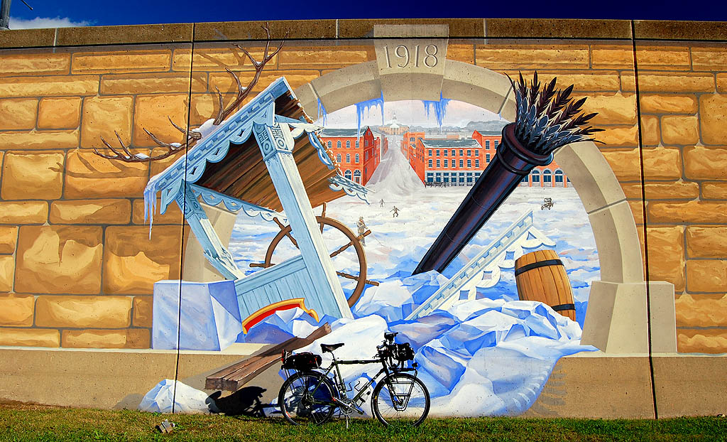
One year it’s a major flood or, like in 1918, the whole river can get clogged with ice. My Surly Long Haul Trucker shivers just to think of it.

On a coolish weather note, I was very pleased with the new tights I bought from Performance Bikes just before we left town. I thought they’d be too big and not warm enough. I was wrong on both counts.

Surly Long Haul Trucker in front of mural showing Mississippi River clogged with ice in 1918

Big rains make big rivers

I mentioned last year that I interviewed the old man who had been reading the river gauges since the days of Adam and Eve.

What had he learned in all those years?

“Big rains make big river.”

Looks like nothing has changed.

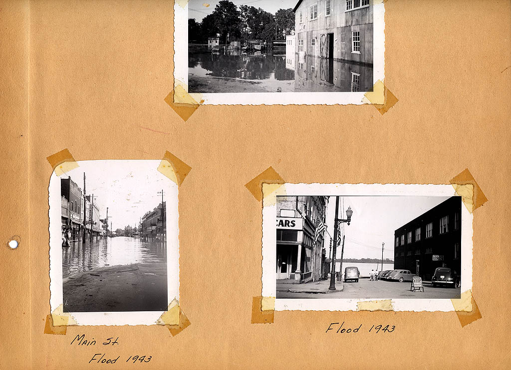
Mississippi River floods Cape before the seawall

My dad had these pictures of the 1943 Flood creeping onto Main Street in downtown Cape in a scrapbook. I can recall storeowners putting down plank walkways so customers c0uld walk over the flood waters to shop on the second floor of the stores.

L.V. Steinhoff scrapbook photos of 1943 Mississippi River Flood in Cape Girardeau, MO

Horseshoe Lake in Southern Illinois is Flat, Pretty

Horseshoe Lake

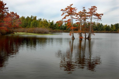
Cypress Tree in Horseshoe Lake in Southern IllinoisErnie Chiles, my old high school earth science teacher, and I talked about riding the Katy Trail when I came back home to Cape Girardeau this October, but it wasn’t to be. Neither of us had enough miles in for the year to be comfortable with a 225-mile ride. On top of that, the weather had turned cold and rainy.
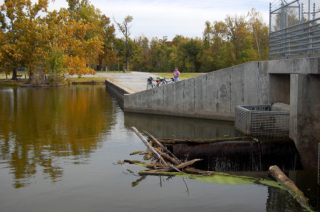
Horseshoe Lake was a nice compromise

Spillway at Horseshoe Lake in southern IllinoisI had seen some routes for this weekend’s Tour de Shawnee. Some of them were through some challenging hills, but one of them looped Horseshoe Lake, an old oxbow from the Mississippi River.

I decided that the Horseshoe Lake ride would be scenic, with light traffic and leave us with the option of extending the ride if we wanted to.

It was a good choice. When we got back to the starting point, we debated going on, but decided that we’d rather quit wanting more than to add another 20 hard miles to the ride and wishing we had bailed early.


View Horseshoe Lake, Ill. in a larger map

Note: the larger map IS easier to read. Click on Sat to see satellite photos of the area.

What’s an Ernie Chiles you ask?

Read all about Ernie on my Cape Central High blog.