7th Annual Rotary LOST Ride-Run-Walk March 27

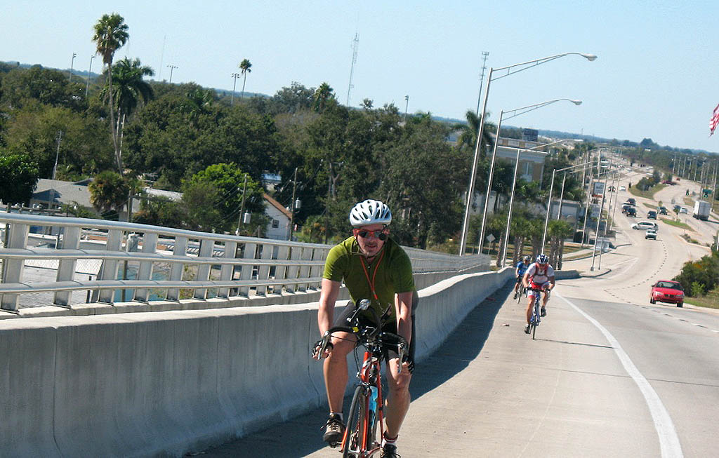
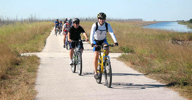
If you’ve been wanting to ride the Lake Okeechobee Scenic Trail (LOST), but haven’t done it because you didn’t want to be out there alone, with no bathrooms and no refreshments, March 27 would be a great time to get your initiation.  The local Rotary Club is sponsoring its 7th Annual Ride-Run-Walk event that Saturday.

Restrooms and refreshments will be provided.

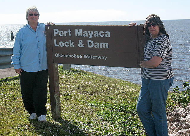
The ride starts and ends at the Scott Driver Boat Ramp on Highway 78, west of Okeechobee and on east side of the Kissimmee River. They are featuring 12, 20, 40 and 54 mile round trip courses. 54 miles will take you from the north end of the lake down to Port Mayaca and back. Since there is only one trail, it’s impossible to get lost on the LOST.

There is nothing magic about those distances, either. Just ride until you are half as tired as you want to be at the end, then turn around.

Spiffy Rotary Club web site

This year the Rotary Club’s LOST ride has a spiffy new web site. You can see it here. There are details about the ride and an entry form. (We’ll have one of those at the bottom of the page.)

The Hampton Inn has special rates for LOST riders. If you want cheap and clean, but nothing special, I’ve had good luck with the Okeechobee Scottish Inns. Here’s a review I did after last year’s ride.

Photos from the 2009 ride

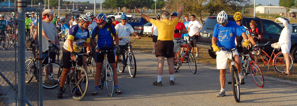
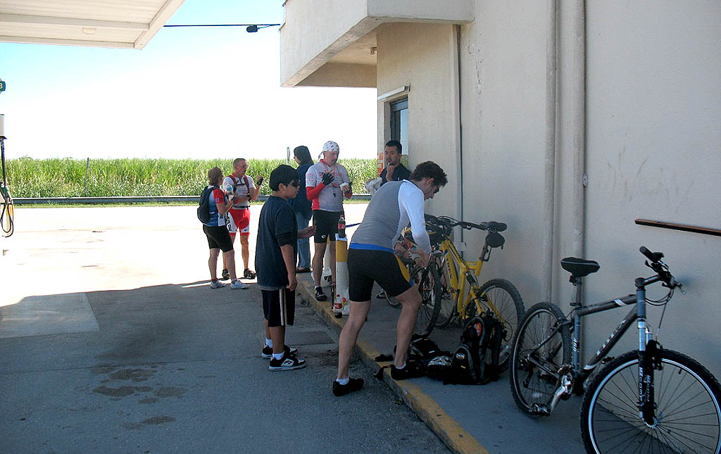
Here are still photos and a video from last year’s Rotary Club event. It was a great morning with perfect weather, except for a gusty wind.

Starts and ends at scott driver boat ramp

Scott Driver Boat Ramp on Highway 78

A ride on the LOST can change your life, good and bad

Mary Garita, a coworker for more than 20 years, showed up for the 2004 ride, having done very little riding and not knowing what to expect.

She liked it well enough that we became regular riding partners and logged thousands of miles together. For awhile, we were riding the LOST a couple of times a month including an unsupported century on the south end of the LOST in November of 2006.

A month later, she crashed on the LOST, fractured her skull in five places and hasn’t been able to work or bike since. There’s a reason for that helmet requirement for that ride. Trust me.

The LOST isn’t a dangerous place to ride, but a few simple precautions are in order.

Here’s what I carry, supported or not:

  • Suncreen. There is NO shade up on the dike.
  • Spare tube and a way to inflate it.
  • Plenty of water; there are no facilities to buy any on the dike (although it will be provided at the rest areas)
  • A cell phone, just in case.
  • Emergency contact information (remember Mary?)
  • Mosquito repellent. Not necessary in the daytime, but bugs are brutal for about 45 minutes right at dusk.
  • A camera; not absolutely necessary, but I guarantee that you’ll spot something along the trail that you’re going to want to share with your friends.

Here’s the entry form

This is a great event. I’ve been to all but one of them. Here’s your Rotary Club 7th LOST Registration Form.

Endeavor Didn’t Have Any Flats

The Space Shuttle Endeavor’s crew and I both took a ride this weekend. Clouds and low ceiling postponed their launch, but it was a picture-perfect liftoff 24 hours later. Here’s what it looked like from our front yard in West Palm Beach, FL.

Sorry for the bumpy video. I crawled out of a nice, warm bed at 4 in the morning to find temps in the mid-40s and I hadn’t bothered to grab a tripod. I wish I had. The shuttle was visible for a longer period than I can remember seeing any other flights.

My luck wasn’t so good

The mid-day temperatures on Saturday were great – in the low 70s – but the winds were brutal. They were 19mph sustained, with gusts into the mid-30mph range. They were mostly out of the west, so we decided to cruise some of the inland streets that my new riding partner, Osa, hadn’t been on.

She saw the house we rented when we moved to Florida in 1973. It still has a big tree in the front yard that we planted when Son Matt was born in 1975. We were afraid that a cold snap had taken it out about 10 years ago, but it’s doing great.

Some of the neighborhoods we rode through show tremendous improvements from the 80s when you could buy crack on almost any corner and drive-by shootings were common. The area has really turned around.

Osa had never been in Woodlawn Cemetery, where many of West Palm Beach pioneers are buried. It’s also the final resting place for 69 victims of the 1928 Hurricane that killed thousands in The Glades. Sixty-one of the 69 victims are white. When the scope of the tragedy became clear, non-white victims were turned away from Woodlawn. Nearly 700 other black victims were buried in a mass grave near 25th St. and Tamerind Ave. The grave has been neglected until recent years.

When we made a turn in the cemetery, the bike handled badly. I looked down and saw the rear tire was nearly flat. That was Flat One.

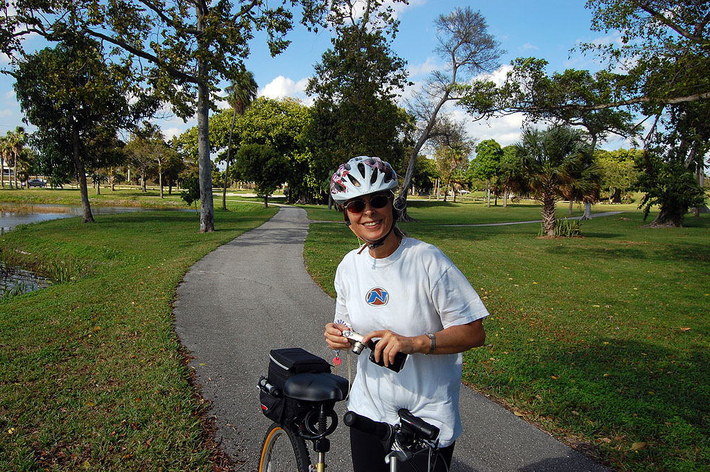
Osa on Dreher Park bike trail

After replacing the tube, we started off on another ride to Dreher Park, where I shot this photo of her. After cruising around the lakes on the north part of the park, we hit the south side, which has what passes for hills in West Palm Beach.

Osa chased down an ice cream truck. I thought my bike handled a little squirmy when we stopped for the break, but I was more interested in snarfing down an ice cream sandwich. When I got back on the bike, the FRONT tire was half flat. That was Flat Two.

There was enough air to make it home, but the bike really handled badly. Another few blocks and I’d have walked it home.

Flat Three

When I got home, Son Matt was building a garden for this mother in our back yard. When I started describing my flat problems, she said, “You didn’t have two flats today, you had three. The right-rear passenger tire on your car was flat, too.”

Good thing I wasn’t on the Endeavor crew. It much be a real bear to change a flat on that thing.

Florida East Coast to Lake Okeechobee Scenic Trail

Thad S sent me the following question:

I am planning on doing a loop of the Lake Okeechobee Scenic Trail (LOST) the first week of March. I plan on riding from Jupiter and taking about 5 days, with possibly a day off in Clewiston for a day of fishing. Is there a good way to get there from Jupiter? Also how regular are motels/sleeping accommodations and places to eat around the lake? We are not planning on any camping.

We will not be riding mountain bikes with suspension, but race-ready cross bikes with panniers. I don’t think my single speed MTB would fare so hot on this long one! We would like to ride the dike as much as possible, but I will follow your advice for parts that are not suitable.

We would like to do between 40-60 miles day. We can go over 60 if we need to. We are both experienced cyclists, and have done some long rides in the past. I myself am a mediocre cyclocross racer, and my girlfriend is a seasoned commuter/recreational cyclist. Also, we live in South Philly, so traffic is not a problem!

Hobe Sound to Port Mayaca is a great ride


View Hobe Sound to Port Mayaca LOST Trailhead in a larger map

When I was scouting a route for Son Matt and me to ride across the state, I talked to some club riders in Hobe Sound about 708 to 76. “Oh, I wouldn’t ride that if I wasn’t in a group. It’s too dangerous.”

I don’t know where he got that idea. It was one of the nicest stretches.

Traffic on the road is light and friendly. Almost every vehicle pulled way across the center line to pass me.  I’d give them a wave of thanks after the pass. I’d see them looking in their mirror, and they’d give me a wave in return. THAT’S how you know you’re in the country.

You can resupply or overnight in Indiantown

If you’re hungry or need water, you can go into Indiantown when you reach the intersection of 76 and 710. There’s a tall bridge over the Intracoastal Waterway that doesn’t have shoulders, but traffic is light enough that you can catch a break fairly easily. If you decide that’s far enough for the day, you could stay in the historic Seminole Inn.


View Lake Okeechobee Scenic Trail in a larger map

Clockwise or counter-clockwise? Let wind decide

When you hit the 441-76 intersection at Port Mayaca, you have a choice.  You can go north on the paved LOST to Okeechobee or you can take 441 south. I generally let wind direction determine whether I go north or south. The dike is under construction between Port Mayaca and Pahokee (and a few points south of there), so you have to ride the road there.

441 south of Port Mayaca has been repaved recently and has small, but adequate, shoulders if you don’t mind riding in traffic.

Unless you enjoy being beaten to death or have a mountain bike with suspension, I suggest you stay on the road on the west, unpaved section of the LOST. Y0u can read about my Surly LHT’s shakedown cruise here.

I’ve marked the overall map with some places to eat.

LOST lodging options

Your best chances for finding a room are in Okeechobee and Clewiston.

I recommend the Scottish Inns in Okeechobee if you’re looking for no-frills cheap. If you want something more upscale, there are plenty of motels on the road going into town.

West of Okeechobee is the Lakeport Lodge, which looks new.

The last time I was in Clewiston, I stayed at a Holiday Inn Express (because my wife picked it out after being freaked out by Reid’s Motel in Moore Haven). If you want a more historical place, go for the Clewiston Inn. It was a little rundown when I stayed there in 1990, but it’s been rehabbed since then.

The Loggerhead Club and Marina right on the lake next to the trail in Pahokee has a number of small cottage-like accommodations. They were brought in after the 2005 hurricane season. When I called, they said the rooms rent from $80 to $125. They suggest making a reservation two weeks in advance because they fill up quickly in season.

Approximate distances for planning purposes

(Hobe Sound to counterclockwise loop of Lake Okeechobee Scenic Trail)

  • Hobe Sound to Port Mayaca Trailhead – 34 miles
  • Port Mayaca Trailhead to 441 Pier in Okeechobee – 22 miles
  • Okeechobee Pier to Okeetanta Trailhead and 78 – 4 miles
  • Highway 78 to Moorehaven Trailhead – 34 miles
  • Moore Haven Trailhead to Clewiston Marina Trailhead – 13 miles
  • Clewiston Trailhead to Southbay Trailhead – 13 miles
  • Southbay Trailhead to Pahokee – 11 miles
  • Pahokee to Port Mayaca – 14 miles

Some of these distances are accurate; some will be longer if you have to detour around construction.

PalmBeachBikeTours Pages with more LOST info

Rear Video Camera Mount for Freakbike Ride

I’ve been slacking lately. I caught a nasty cold on Thanksgiving Day and have been fighting it ever since. I was only on the bike one day since the middle of November. I don’t even want to tell you my mileage for the year. Let’s just say it’s the lowest since I started riding in 2001.

The one ride I DID haul myself out of my sickbed to do was the Freakbike Militia’s Choppernite 26.

I want to see faces, not biker butts

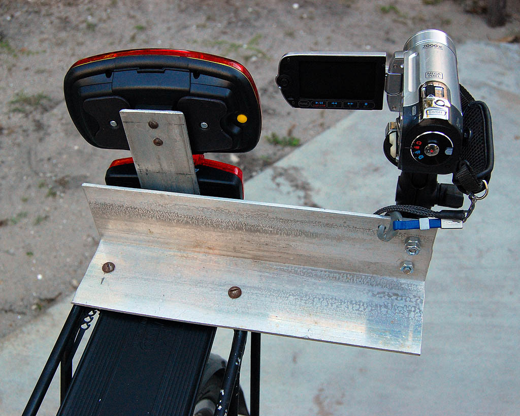
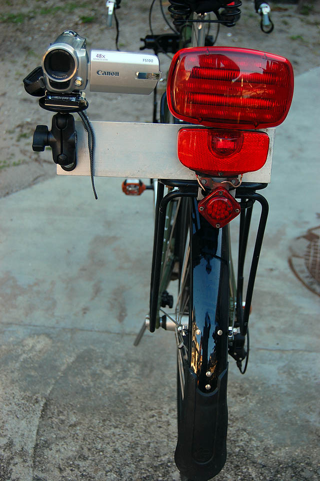
This time I wanted to shoot video of more than biker butts, so I rigged a mount that would let my Canon FS100 video camera point behind me. It’s pretty ugly and I won’t leave it on the bike all the time, but it seems secure.

It’s made out of some 1/4″ aluminum stock I used to use for radio mounts. Two 1/4″ bolts through the aluminum and big washers underneath hold it to the Jandd Expedition rear rack.

I use a RAM mount with quick release to hold the video camera. Because I’m a belt-and-suspenders kind of guy, I drilled a hole in the mount for the lanyard attached to the camera. The RAM mount is solid enough to handle this bumpy ride, but it never hurts to be safe.

I wanted it mounted slightly ahead of the RealLite so it would be less likely to pick up flare from the flashing taillight. It needed to be off to the right enough that I could open the viewfinder.

So, how did the video camera mount work?

Unfortunately, I wasn’t able to find out.

I pulled out of the driveway and noticed in the first 100 feet that a slight mist was in the air. I went back into the house to check the radar and saw a tight band of reds and yellows just off the coast and moving slowly to the southwest, in my direction.

I stuck a few Ziploc bags in my jersey pocket, took off the video camera and headed out. About two blocks from the house, the mist turned into rain, and I ducked under a building overhang to rig for bad weather. That’s when the skies REALLY opened up and the wind started howling.

I put the cameras in the plastic bags and pulled the waterproof covers over my Arkel small bar bag and Tail Rider trunk bag, dug out my Campmor rain cape and pulled on leg warmers because the winds were chilly. After about 20 minutes, the heavy rain and winds dropped off to a steady rain and I took off to the assembly point.

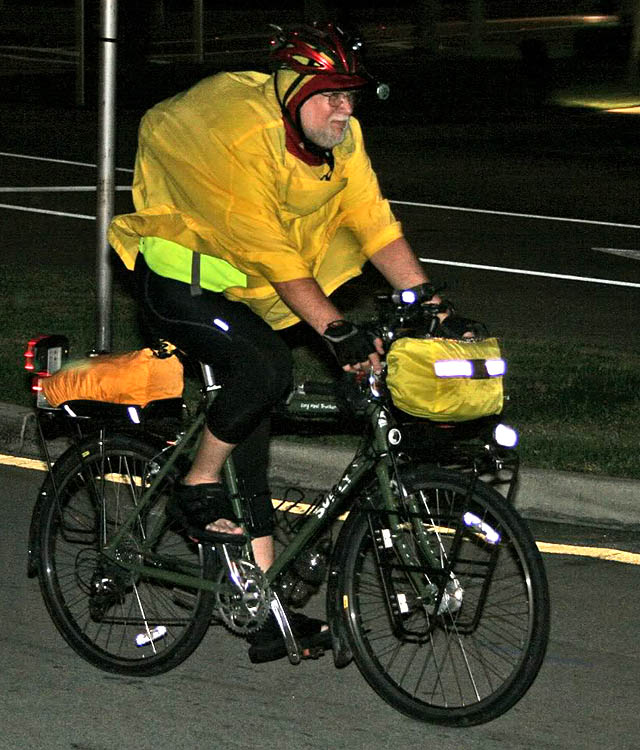
Stan of Wheels of Wellington shot this picture of me after the rain had slacked off and I had dropped the finger loops on the rain cape to be less like a sail. I resemble a big orange pumpkin going down the road, because I put the cape over the CamelBak M.U.L.E. I was wearing. What his photo doesn’t show is how the FlaskBak I was trying out caused the whole back of the cape to light up.

I’m one of those folks who actually likes riding in the rain. The brim of the rain cape extends out far enough that my glasses stay relatively dry and the fenders kept my legs dry except for a couple of flooded areas where I got a little water on my feet. THAT didn’t matter because I was wearing Shimano sandals.

How was Choppernite 26?

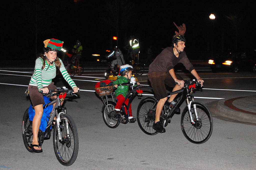
I’ve been holding off on writing this because I wasn’t sure what to say. I’ve really enjoyed the other Freakbike Militia events I’ve participated in. I went so far as saying the Summer of Love ride was the most fun group ride I’d ever been on. I said that even the motorists who were briefly inconvenienced seemed to pick up the good vibes of the ride.

I didn’t get that same good feeling on this one.

Let’s look at the good things first

  • Despite the rain, about 70 riders showed up.
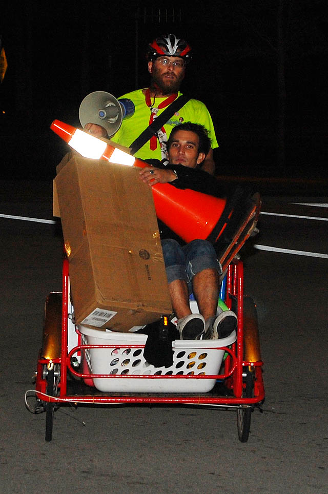
  • Many of the bikes and riders were decorated and had ingenious lighting arrangements.
  • The “corkers” – riders wearing safety vests who blocked intersections for the group – were enthusiastic and effective. The vests are a nice safety touch.
  • The ride was raising money for a good cause.
  • The group had a lot of fun.

Things that made me uncomfortable

  • Despite earlier requests on the Freakbike Militia forum, some riders persisted in crossing the center line to ride in the lane with oncoming traffic. It’s inconsiderate, makes motorists cranky and is dangerous, particularly if the bike doesn’t have lights. Drivers are drawn to watch the spectacle going by and may not see the rider in their lane until it’s too late.
  • Too many bikes didn’t have lights. That’s not a big problem when they’re tucked in the middle of the group, but the group tends to fragment on the way back. It’s very dangerous on a rainy night when you have a mixture of lighted and unlighted bikes spread out on the roadway. If a driver is concentrating on watching the taillights, he or she can plow into an unlit bike.
  • Someone led the group to go westbound on eastbound Okeechobee from Flagler instead of a block north onto westbound Lakeview. I was set up to shoot the group going down the right street and was surprised to see everyone going the wrong way. THAT didn’t win any friends with the eastbound motorists.
  • The poor corkers caught a ration of honking when they blocked the intersection for a spread out group of riders who went the right way. It’s one thing to be stopped for 100 bikes, it’s another to be stopped for a handful.
  • To compound the problem, some of THOSE riders spilled over into the left-hand lane, igniting another chorus of honks.
  • Maybe it was because of the joyous Christmas season, but motorists seemed crankier and more impatient than usual.

Will I do another Freakbike Militia ride?

Yeah, probably. (If they’ll have me back after reading this review.)

I like the folks and this was the first bad experience I’ve had. Maybe I was just cranky because I was still half-sick; maybe the rain delay caused things to be even more disorganized than the usual a non-organized ride; maybe the motorists were in a rush to do Christmas shopping, who knows?

If I feel like the next ride is unsafe or that it’s pissing off people more than it’s promoting cycling, then I’ll have to re-evaluate.

SwampStomperus and Group Get LOST

Despite our name, we don’t actually lead bike tours. That was an idea that came and went (very quickly). We’re always happy to suggest places to ride and one of our favorites in this area is the Lake Okeechobee Scenic Trail (LOST).

Way back in August, Dave Fletcher, AKA SwampStomperus, contacted my foodie friend Jan Norris about riding the LOST. She passed him off to me and we traded emails until the first part of November when he said he was putting together a gaggle of riders to finally do the ride.
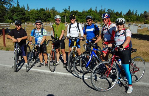
Dave's Group taken when they crossed path with the FORCE riders

It happened to be the same weekend of the FORCE ride. Both groups were starting in the Clewiston area at about the same time, but the FORCE riders were riding clockwise and Dave’s folks were going counterclockwise.

He promised an account of his ride and some pictures. Here it is.

A group of South Floridians had their first go at the LOST on the weekend of Nov 14-15.  Thanks to Ken and his great LOST maps, we finally were able to undertake an adventure that at least one or two of us had only dreamed about for several years.

Unofficial Map of Lake Okeechobee Scenic Trail


View Lake Okeechobee Scenic Trail in a larger map

All ages and experience

With the best support crew you could ask for (Peggy and Carol) we 7 riders set off from John Stretch Park for an unknown, but sure to be excellent, adventure.  Dave, Leo, Linda, Patrick, Edwin, Jerry and Yenz, aged 13 to 59…some with years of experience and miles under our belt…and one with a brand new bike and little experience at all.

Drivers surprised these Broward riders

We were a combination of road bikes and mountain bikes—so we knew there would be some road riding ahead but our first surprise came just to the east of the park when we saw the “closed” sign on the LOST.  What to do?  We decided to forge ahead, hoping that we could at least get by.  In fact, we made it as far as Torry Island without a hitch.  Then came the road biking to get around levee maintenance.  Thank God for iPhones to help us navigate the roads.  As for the roads themselves, we were pleasantly surprised.  We are from Ft. Lauderdale/Hollywood where a road ride is equivalent to a death wish.  But we found roads with wide shoulders, smooth surfaces and drivers who actually slowed down or made a significant effort to move over and give our riders a wide berth—what a very refreshing experience!

Our first casualty (so-called) came when our youngest (and newest participant) decided to call it a day.  But hey—he made it 19 miles on a trail bike—which certainly would give him bragging rights over any other 13 year old that I know.  We were proud of him for having made it that far—and he was good company for our support team too!

Lunch at the Subway

In the meantime, our support team found us lunch at the Subway in Pahokee and it made for a great mid ride break.
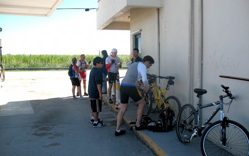
Lunch at Canal Point Subway[Editor’s note: I’m pretty sure that Subway is actually in Canal Point, which is north of Pahokee. I stopped at the same place on Sunday. The food is OK and the bathrooms are clean.]

We set off again after lunch, resisting so many temptations to stop at the numerous yard sales in Pahokee—what a dream.  We continued along the road—again amazed at the courtesy of the local drivers—and inhaling the sweet smell of burning cane—tis the season!

Headwinds take their toll

Attrition hit us again just before Port Mayaca and again at Port Mayaca as our two other trail bikers decided they had done enough for the day.  Again, not bad at all, considering they had been riding into a headwind for most of the day.  We could all feel the stress and a nice break in Port Mayaca helped refresh us for the final stretch.  Now we were back on the paved levee and inspired by the beautiful views of the lake.  Down to only four now, we set off again, determined to make Okeechobee in time for a relaxing dinner and the comfort of our hotel.
Carol and Peggy provided support on the Lake Okeechobee rideIt seemed that the wind was picking up as the day went on.  The last stretch was a bit of a challenge and we dropped another rider at Henry Lock.  As usual, our support team was ready to move into action and they were soon there to take him away.  Now we were down to three—all determined to make the finish.  We finally did pull into the Okeechobee pier a bit before 5 pm.  A short ride up to the Holiday Inn and we were done.  Our terrific support crew had us already checked in and had our gear in our rooms.  They took care of everything (except the massage!).  They had already decided on a dinner location so, after cleanup and a short rest, we were off to The Clock, where, again, these south Floridians were amazed—this time by the low cost of dining out!  We’ll certainly be back to Okeechobee.

Food and lodging are reasonable in Okeechobee

That evening found a few of us relaxing in the hot tub while others were off to dream land shortly after dinner.  The next morning, over a terrific complimentary full breakfast at the Holiday Inn, we discussed alternatives for the day.  We knew the mountain bikers wouldn’t make the whole day again.  We also knew that the first half of the ride would be on the road, where the lake wasn’t visible and the second half would be on the levee where we would experience more of the natural environment.  So, instead of riding the first half from Okeechobee to Moore Haven on the road and then sagging, they decided to have a relaxing morning at the hotel and meet us in Moore Haven for lunch.

Moore Haven bridge is quite a climb
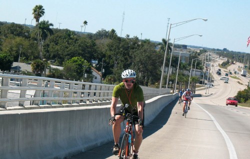
Dave, Jerry, Edwin top Moore Haven BridgeWith that decision made, three of us set out along 78.  For all of us it was the first time we’d ever been on that road.  What an experience.  It seemed to be what old Florida must have been like:  very quiet, little traffic (but again—very courteous drivers) and some nice landscape scenery.  We did take a nice break at Lake Port (home of the Sour Orange Festival) and checked out the observation platforms off Harney Pond Road—taking in the silence and the beauty of the vast wetland there.  We also delighted in seeing several ospreys along the way, including two with fish in their talons and several other species of wildlife.  Truly this was a remarkable stretch of road and I look forward to returning there some day.

A suprise meeting with the FORCE group

Once in Moore Haven we rendezvoused with our support team and the sagged riders.  After a short lunch we set off toward Clewiston, riding the levee, happy to be a team of 7 riders once again.  The wind was now a bit behind us and we made fairly good time.  We had quite a surprise awaiting us in Clewiston when we actually ran into Ken, owner of this website and whose generous guidance provided us with the information we needed to do the ride in the first place.  We were glad to be able to thank him in person.

Ready to do it again
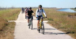
Patrick and Yenz lead the pack into the Clewiston MarinaAn hour or so later (and down one rider—our 13 year old made it 20+ miles on the second day) we were greeted by our support team as we pulled into John Stretch Park.  It was a great weekend—perfect weather, a perfect route, a perfect support team and a perfect group of riders (and friends.)  We all left with the resolve to do the LOST again—soon.